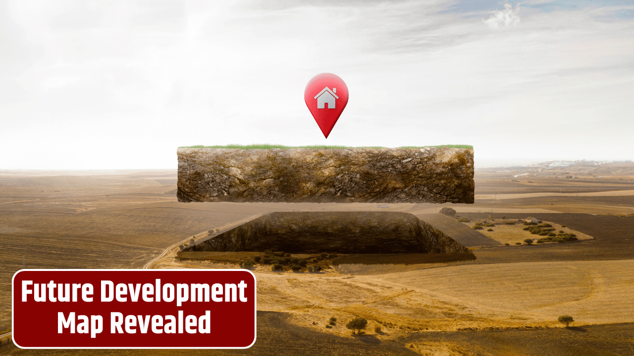
City hall just made urban planning a little less mysterious. This week, regional officials rolled out a new interactive planning map—an online tool that lets residents zoom in on their neighborhoods and see exactly what’s coming down the pipeline. Think housing developments, new parks, bike lanes, highway overhauls, and even potential transit corridors—all laid out in digital detail.
The launch is being billed as a transparency win and a way to get residents more involved in shaping growth. For decades, regional plans often lived in thick binders or PDF files buried deep on government websites. Now, with a couple of clicks, you can explore projects that could reshape daily life in your corner of the map.
Table of Contents
What the Map Shows

The tool isn’t just pretty colors—it’s packed with layers of data.
| Category | Example Projects | Status Indicator |
|---|---|---|
| Housing | Mixed-use apartments, affordable housing | Proposed / Approved |
| Transportation | Rail extensions, bike lanes, highway fixes | In planning / Under construction |
| Public Amenities | Parks, plazas, libraries | Approved / Funded |
| Climate Resilience | Flood barriers, green infrastructure | Long-term proposal |
| Economic Development | Industrial parks, innovation hubs | Proposed / Public review |
Users can filter by type of project, timeline, or funding status. One standout feature: pop-up windows that show estimated costs, funding sources, and completion dates—bringing financial accountability into sharper focus.
Why It Matters
Regional leaders say the map aligns with federal pushes for “open data” and civic engagement, like those highlighted by the U.S. Department of Housing and Urban Development and the U.S. Department of Transportation.

But it’s also a political tool. By making projects visible, officials hope to build public trust—and perhaps quiet critics who often complain they’re left in the dark until bulldozers arrive.
Local Reactions
So far, curiosity is high. Early traffic to the site was so heavy it briefly crashed servers. Some residents are excited: “I’ve always wondered what was planned for that old railyard,” one commenter wrote. Others worry the map could spark land speculation or drive up property values in areas where big projects are flagged years in advance.
Small business owners, meanwhile, see opportunity. Knowing when new transit stops or plazas are coming could help them decide where to expand.
The Catch

Critics caution that maps don’t guarantee results. Just because a project shows up doesn’t mean it’s fully funded or politically bulletproof. Some items listed are still a decade away—or could vanish if budgets tighten. “It’s a snapshot of possibilities, not a contract,” one planner admitted.
Social media chatter claimed the map “tracks residents’ personal data.” That’s false. The tool is informational only, pulling from publicly available planning and budget documents. It doesn’t log user behavior beyond normal website traffic analytics.
FAQs
How often will the map be updated?
Officials say quarterly, with real-time updates for major approvals.
Can residents suggest projects?
Yes. A feedback feature lets users submit ideas or concerns tied to specific locations.
Is the tool free to use?
Completely. No login or payment required.
Does this mean every project is guaranteed?
No. Projects are listed by status—some are funded, others are long-term concepts.